Automated measurement of surface deformations at millimetre range based on radar satellite images
JOANNEUM RESEARCH Credit: B. Bergmann
This remote sensing technique uses images from spaceborne SAR satellites to measure ground surface deformations with millimetre precision. Corner reflectors (CR), which are man-made targets placed on the ground, enhance the accuracy and reliability of InSAR measurements in challenging areas where natural reflectors may be insufficient.
With our many years of experience, we offer a tried and tested complete package for the efficient management of long-term surveying tasks, even in difficult environments.
The Task
Your Benefits
Capabilities
Integration
Tunnel monitoring that uses artificial intelligence and intelligent microphones to detect critical events in less than 1 second.
Ultra-hochgenaue Karten und 3D-Umgebungsmodelle für Simulation, Test und Validierung von Fahrfunktionen sowie Sensorik.
With our DIGITAL.culture products, we offer an integrated, constantly evolving, complete solution for modern data management.
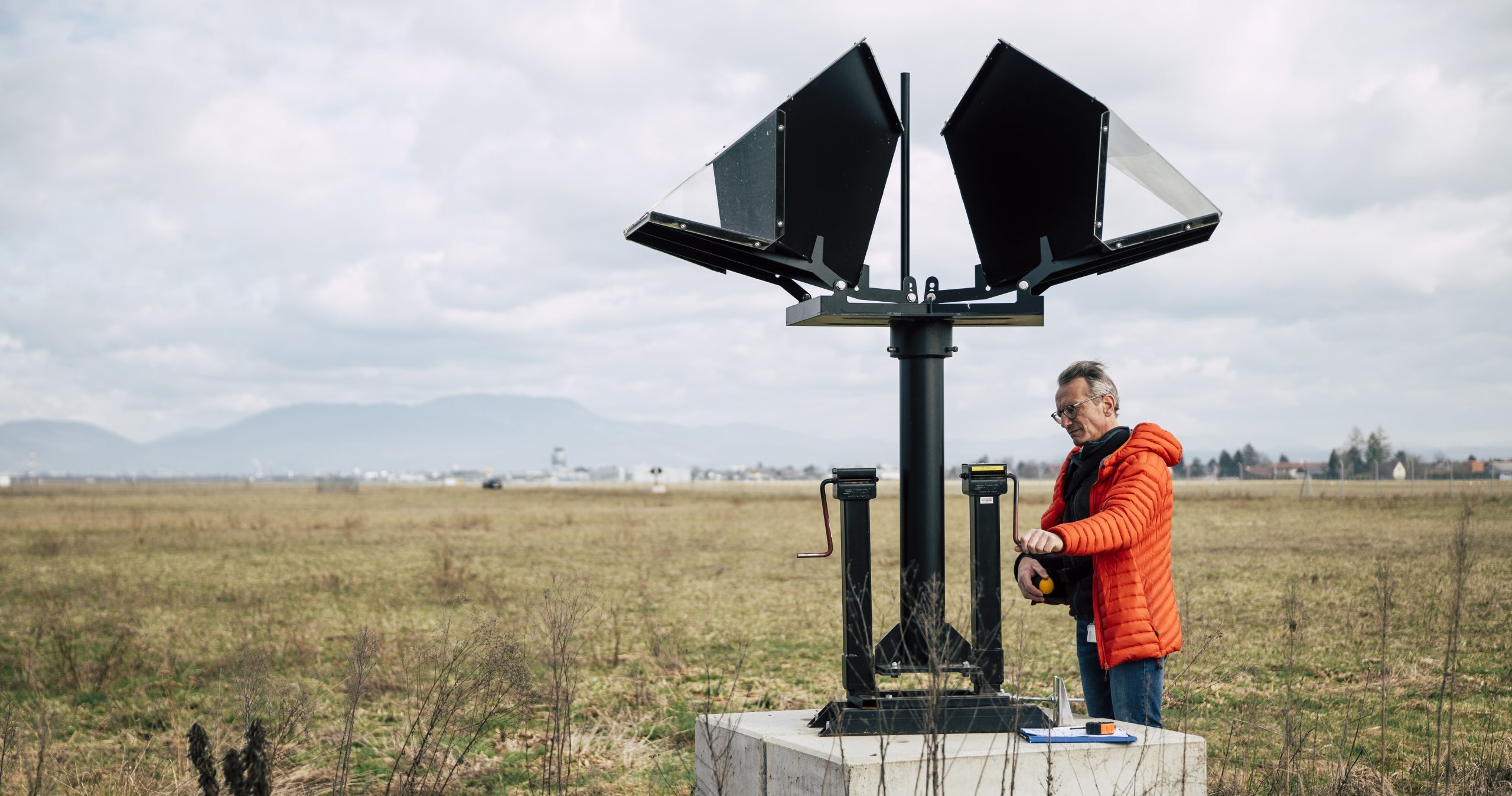
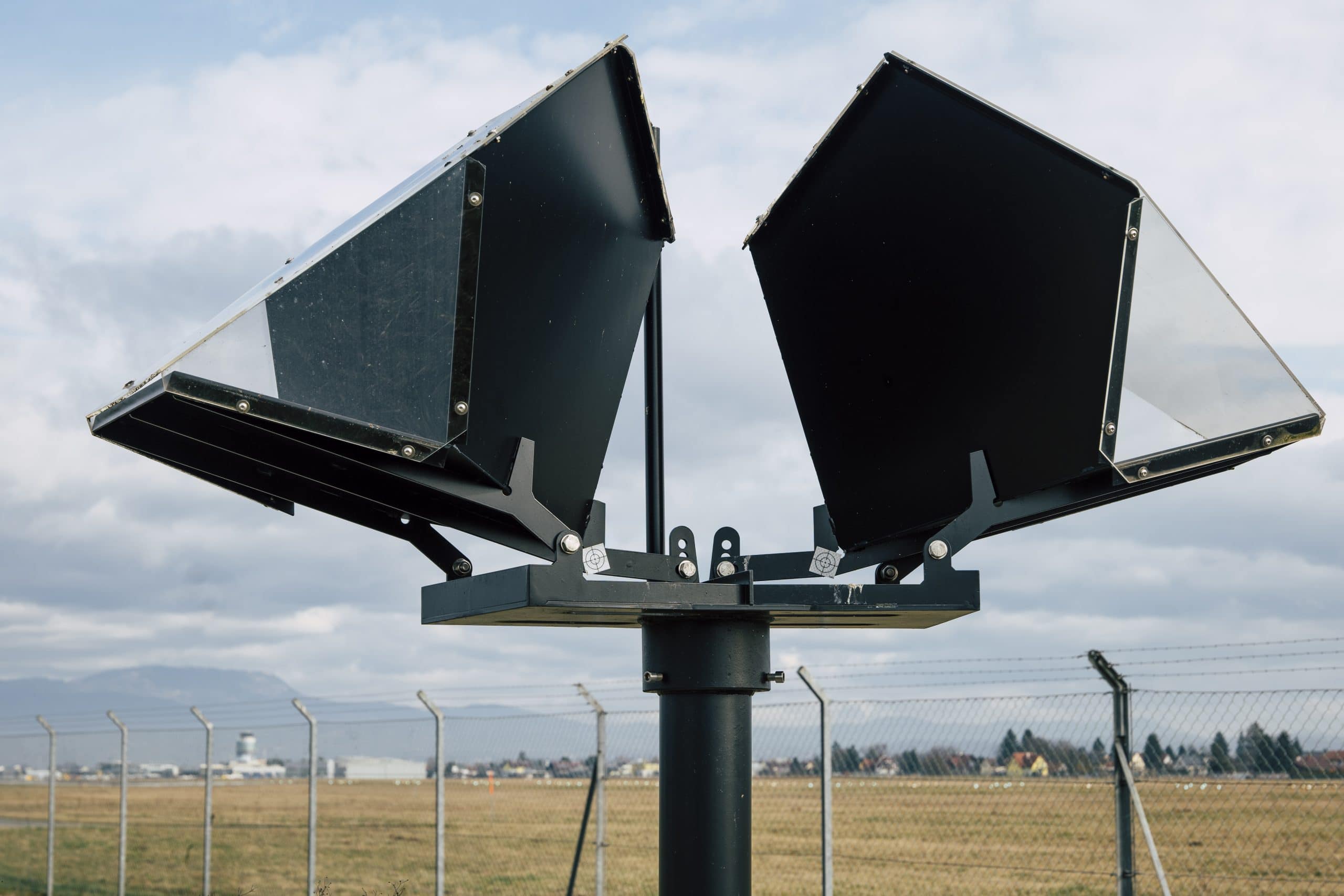
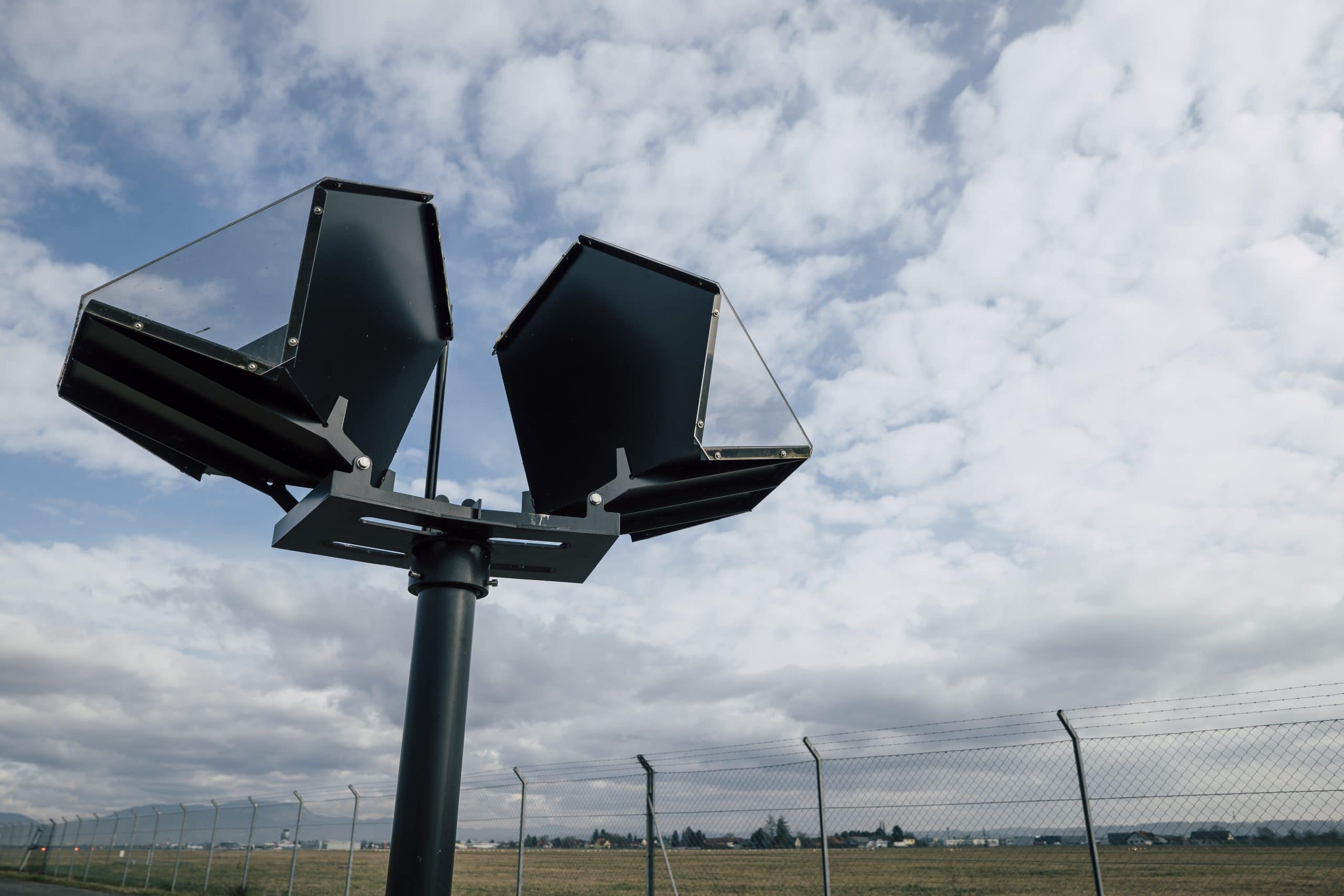
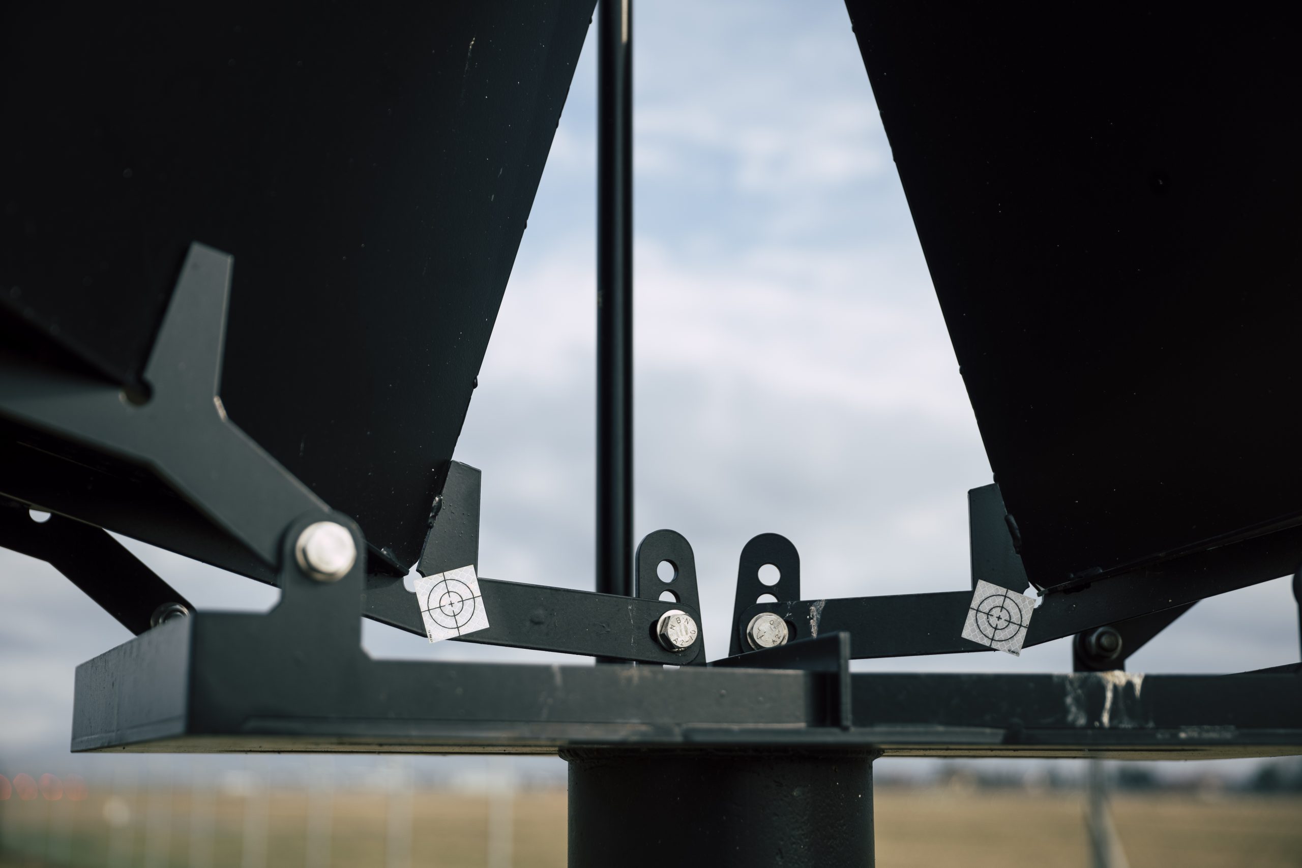
Automatic continuous measurement of precipitation particles
Reliable recording of meteorological measurements using camera-based sensor technology and image analysis.
Digital maps for assessing the condition of roads and planning maintenance work.
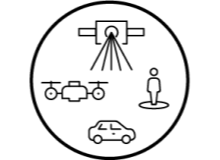
Combination of high-precision 3D laser scans with measurement images of the surroundings taken from the air, on the vehicle or on foot.
Automatic tracking and focussing of large satellite reception systems.
JOANNEUM RESEARCH provides innovation and technology services in the field of applied research. As a research company working on behalf of various federal provinces and regions in Austria, our expertise shapes the development of our modern society and economy – sustainably, and always with a focus on people. As a multidisciplinary team working in a flexible set-up that fosters innovation, we always live up to the highest social and scientific standards.