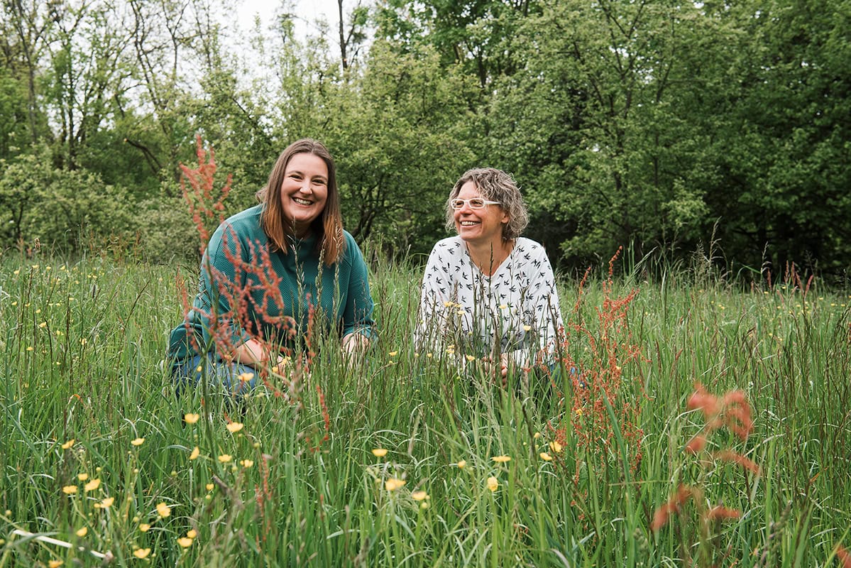
In a rapidly changing world, it is more important than ever to understand the interactions between human activity and nature. Manuela Hirschmugl and Petra Miletich from the Remote Sensing and Geoinformation research group at JOANNEUM RESEARCH's DIGITAL Institute are making a decisive contribution to this by working on the development of innovative solutions and products for monitoring our planet. The goal? To find answers to key questions in the field of biodiversity monitoring - not only in protected areas, but also in agriculture and forestry.
Remote sensing as the answer
The key to these answers lies in remote sensing - a technology that can be used to collect information about the earth's surface from above.
‘This is primarily done using satellite images, which allow us to take a detailed look at the most diverse habitats on our planet. Analysing these images makes it possible to precisely record and monitor changes in land use, vegetation density and the composition of plant species,’ explains remote sensing expert Manuela Hirschmugl. ‘We are experiencing an extreme decline in biodiversity, most notably the extinction of insects. Dedicating 10 per cent of land to biodiversity is important, but is no longer enough on its own. The agricultural sector is now trying to do more to address this problem. Often it is only a small change, such as the ideal mowing time, that has a big impact. Many farmers are quite open to such aspects because they can also improve the quality of the forage.’
Biodiversity monitoring
One project that deserves special mention in this context is RestorEO. In co-operation with the Federal Environment Agency, the University of Graz and the E.C.O. Institute, a monitoring system is being developed that is based on a combination of earth observation data and field surveys. This system is intended to provide a transparent overview of the state of biodiversity and efforts to restore ecosystems. The loss of biodiversity is one of the greatest challenges of our time. As part of the European Green Deal and global efforts to protect biodiversity, the EU has set clear targets in its Biodiversity Strategy for 2030 to counteract this trend. A key aspect of this strategy is the development of an EU-wide plan to restore nature, supported by legally binding targets.
‘The innovative aspect of RestorEO is the combination of traditional field work with modern remote sensing data, particularly from the Copernicus programme. The aim is to enable comprehensive and quantitative monitoring that accurately records the condition and integrity of important ecosystems. This monitoring will not only provide reliable information on the state of biodiversity, but will also help public authorities to fulfil their tasks more effectively,’ explains geographer Petra Miletich, who works primarily at the JR site in Klagenfurt.
The use of remote sensing data opens up new possibilities for protecting our natural resources and preserving our planet's ecosystems for future generations.
Classification of meadow types
Another example of the application of remote sensing technologies is the MeadowTypes project, which has taken up the challenge of precisely classifying meadow types. This is a crucial step in understanding and protecting the diversity of our grasslands. The project team first developed a customised classification scheme based on soil characteristics and management intensity to identify different meadow types.
‘Colleagues at HBLFA Raumberg-Gumpenstein classified meadows in the field and analysed 216 extensively and 183 intensively farmed areas,’ explains Petra Miletich. This data serves as training data for the model to be created. ‘We use the model to analyse time series of satellite images in order to make more precise differentiations. We can't see from the satellite images exactly which plants are growing in the meadow, but we can see spectral signatures over a vegetation period. Using this method, we can find out what type of meadow it is.’
Summarised: The actual classification is based on a machine learning model that uses spectral information from the satellite data and minimises sources of error using various rules and methods. The result is a detailed and reliable classification of meadow types at a scale of 1:50,000. ‘We achieve a high level of accuracy in the classification by integrating additional information and analysing plausibility. This increases the accuracy to an impressive 80 per cent,’ says the geographer. These analyses are important for checking measures and specifications, for example. This makes it possible to recognise whether more meadows are mowed less frequently, thereby increasing biodiversity.
Software toolbox
The experts have developed a special software toolbox to automate and simplify the classification process. This optimises the processing of Sentinel-2 satellite data by improving processes such as image alignment, terrain adjustment, atmospheric corrections and the removal of disturbances such as clouds and shadows. To further increase the accuracy of the classification, the project integrates additional information such as terrain heights from the digital terrain model (DTM), geological and soil maps as well as data on land use and climate.
This progress in accuracy emphasises the effectiveness of the methods used and the importance of additional data for precise classification. The MeadowTypes project thus provides an important basis for the identification and monitoring of different meadow types, which is of great importance for environmental monitoring and the conservation of ecosystems.
Funding rails
RestorEO is funded by the Austrian Research Promotion Agency FFG.
Meadow Types is funded by the Federal Ministry of Agriculture, Forestry, Regions and Water Management.
More informations


